Memory of space
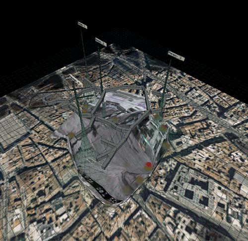
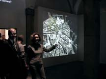
Screen print of the installation dealing with the surveillence camera on puerta del sol, Madrid during Cibervision 02, Madrid (left image)
view into the exhibition room at Conde Duque, Madrid (images on the right)
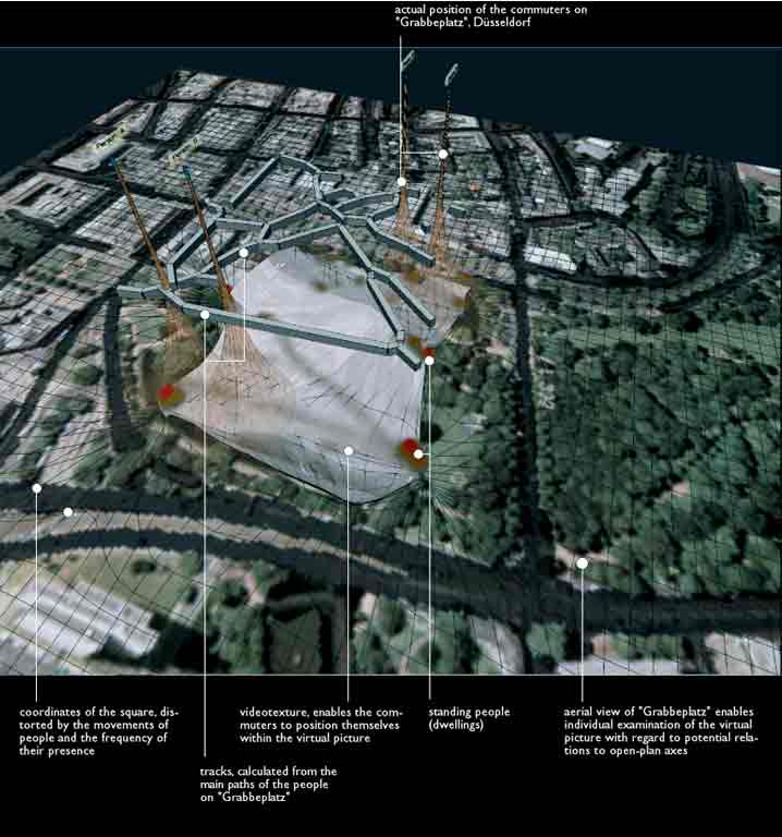
The installation "memory of space" links local and geographical dimensions. An aerial view underlying the virtual scene enables an examination of the virtual picture with regard to its potential relationship to large-scale axes. At the base of the virtual picture is a grid-like system of coordinates which, via a self-organizing map (a simple, neuronal net), is distorted according to the actual usage of the place. At the same time walking speed and direction are applied to the coordinates, pushing them along their direction of travel.
A video-texture comprising the video image of the tracked place is mapped onto the coordinate system offering the viewer references to the real place.
As a result of this investigation, the monitored place can be divided into "territories": areas of rest and walking lanes. These lanes are inscribed as a "network of corridors" (grey lines) onto the distorted (by the movements) reproduction of the square. The remaining spaces - the places where peoples showed a tendancy to dwell (walking speed = 0) - were marked red.
